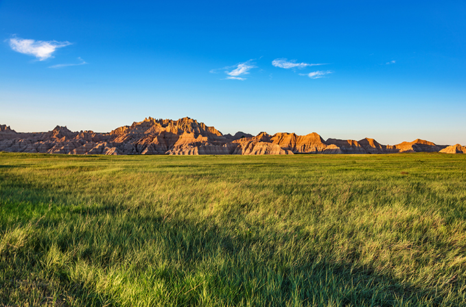
Prairie Climate Atlas
Welcome
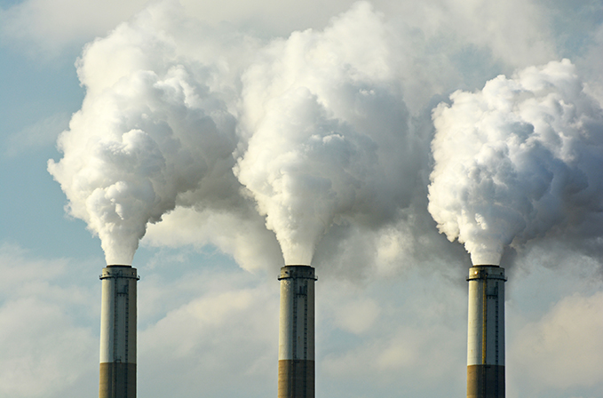
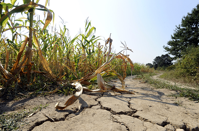
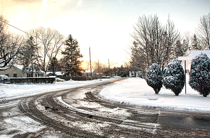
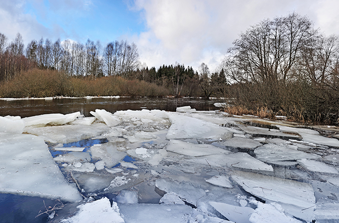
How is the climate of the Canadian Prairie Provinces going to change in the coming decades?
The Prairie Climate Atlas answers this important question by providing you with detailed, state-of-the-art yet easily understood information about our region’s changing climate.
By scrolling down, you will be guided through the ongoing story of prairie climate change. Feel free to interact with the maps and graphics as they appear.
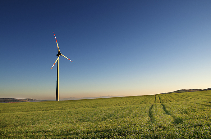
The Prairie Climate Atlas
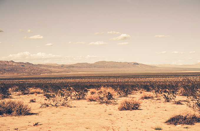
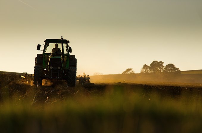
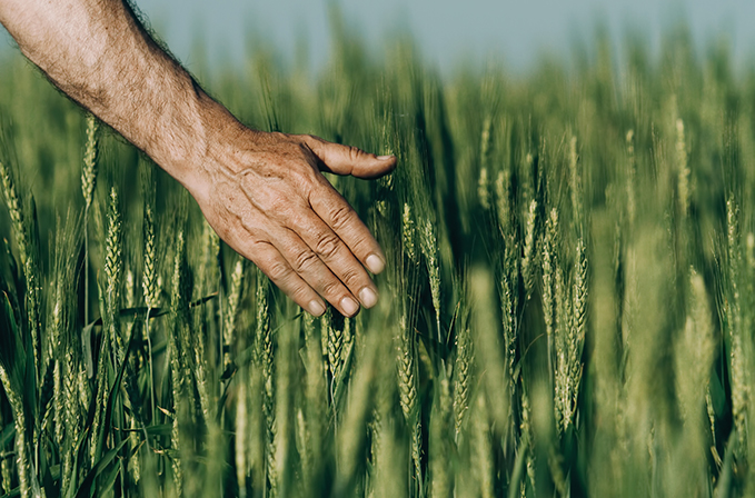
This is a research and outreach project with the explicit goal of making the best climate science available to a broad spectrum of society.
For the general public this will hopefully communicate the severity of climate change and the urgent need for action. For scientists, policy makers and local leaders, the information available will contribute to adaptation and mitigation planning.
This site is being maintained for reference and archival purposes. Our new (April 2018) Climate Atlas of Canada presents a more interactive and coast to coast to coast version of this concept, based on the same data but presented in more detail and across the country.